The route on the map isn't the route | BITE
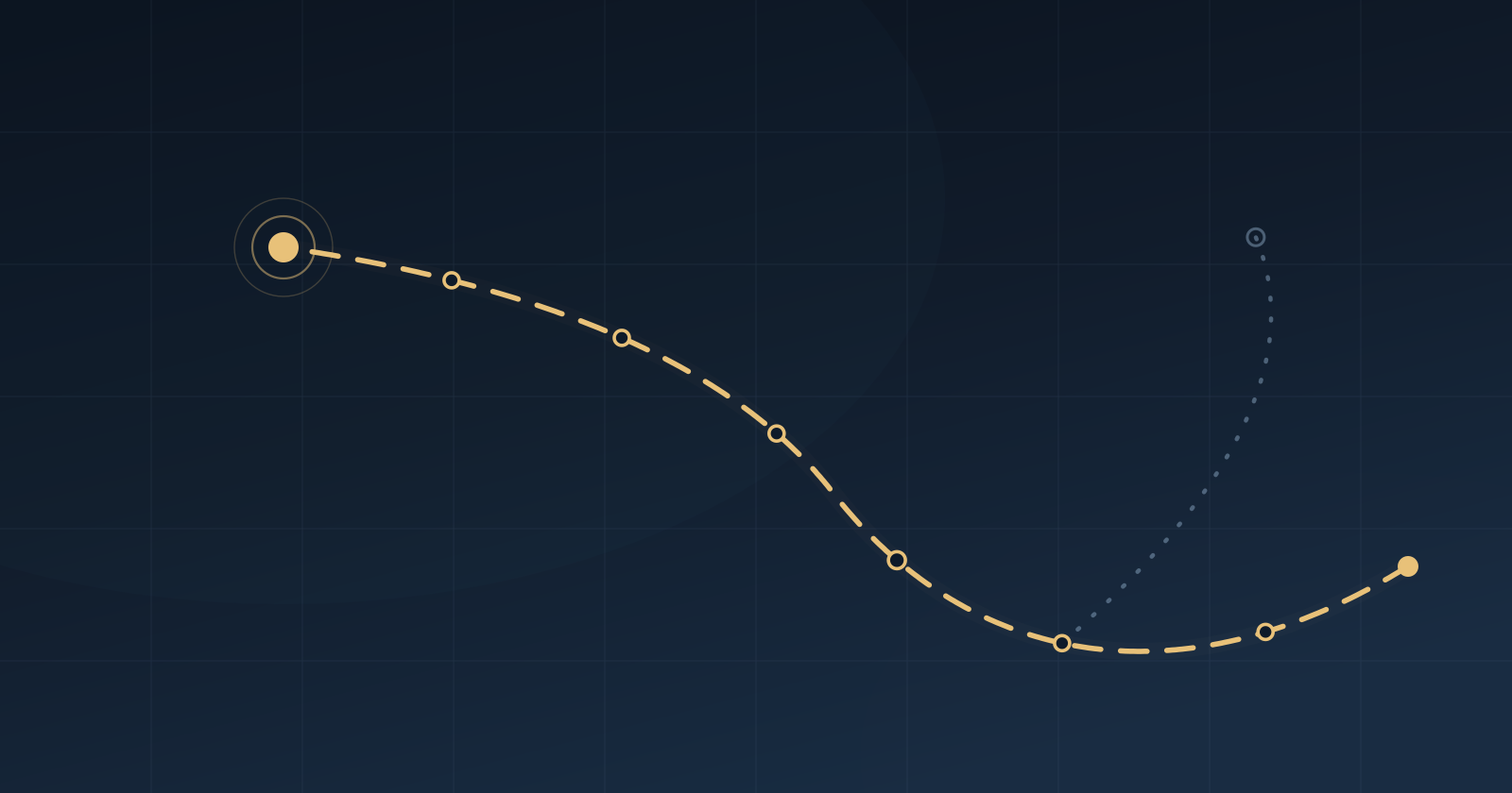
How the Bari to Lisbon itinerary came together: the thinking that happened before the chart came out, the changes of mind along the way, and why that line will keep moving.
There's a map on the site. It starts in Bari, runs down the coast of Puglia, crosses the Strait of Messina, goes around Sicily, jumps to Sardinia, carries on to the Balearics, follows the Spanish coast, exits at Gibraltar and ends in Lisbon.
It looks like a decision that's been made. It's actually the third version, and in all likelihood it won't be the last. Anyone who read the July article will have noticed already: back then the route went up past Corsica and touched Liguria. Then we counted the miles, took a closer look at how wind and sea behave up there in autumn, and realised that we liked that option but it didn't hold up.
It went like that for weeks. Every new piece of information put something we thought was settled back on the table.
Before the chart comes out
Contrary to what people imagine, a passage like this doesn't begin by drawing a line. It begins with a few questions to answer before opening any chart. What time of year do we want to be at sea? What does this trip have to achieve, beyond moving the boat from one place to another? How much time do we really have, and how much of it can we afford to spend sitting in harbour waiting?
In our case there were three objectives, and they weren't entirely compatible with one another. Get Spritz into the Atlantic before autumn. Build a trip other people could join for individual legs. Not arrive wrecked.
The third sounds like the least serious and it's the one that shaped everything else.
Only then did we open the charts. From that point on the work consisted of fitting the geography inside those constraints, and mostly of finding that it didn't fit.
Itinerary and route
An itinerary is a sequence of places: where we're going, in what order, roughly when. That's what you see on the map.
A route is something else. It's the headings to steer, the waypoints, the hazards to leave to port or starboard, the hour you slip the lines in order to arrive in daylight. It answers a different question, namely how we get there today, with this wind and this sea.
The itinerary was drawn on small-scale charts. The term confuses almost everyone because it works backwards from intuition: small scale means a lot of territory and little detail, like a chart covering the whole Tyrrhenian; large scale means little territory and a lot of detail, like the chart of a single harbour. To decide whether the Balearics or Corsica makes more sense you need the first. To enter a harbour at night you need the second, and we'll prepare that a few days before each departure. For the same reason the points on the map should be read as areas: "Porto Pino" means the south-west of Sardinia, not a specific pontoon.
As for the actual track, it depends on things that don't exist yet. The wind, the state of the sea, the shipping, the notices to mariners, whether there's space in the harbours. Based on what we know today we can say where we think we'll go, and not much more.
Why mid-September
Departure is planned between 10 and 13 September, with arrival estimated towards the end of October.
September is a compromise, and like all compromises it doesn't entirely satisfy us. The days are still long enough, the harbours have emptied, prices have dropped compared with August. On the Portuguese Atlantic coast the nortada (the northerly that blows hard and steady down Portugal all summer) starts to ease, and since we'll be doing the last stretch heading up to Lisbon, into that wind, it's no small thing. The other side of it is that from mid-September the Mediterranean moves into its autumn depression season, and the good-weather windows get shorter.
We looked at July and let it go precisely because it's the month when the nortada is at its peak: we'd have arrived in Portugal at the worst possible moment to work up the coast. Late October had the opposite problem, the risk of finding Gibraltar and the Gulf of Cádiz in the middle of Atlantic frontal systems.
None of the three options was really good. September is the one that convinces us most today.
The calendar never decides the departure
We call a weather window the span of time in which forecast conditions allow a given leg to be sailed safely. It isn't good weather in the generic sense, but conditions compatible with that boat, that crew and that distance. A long crossing needs many tens of hours of reliable forecast, because halfway across there's nowhere to go. Every stage therefore has an indicative date and a few days of tolerance.
The difficulty here was practical rather than technical. People coming aboard have to book a flight, take leave, organise themselves. For a while we tried to build a more precise calendar, then backed out: a fixed date creates pressure to leave, and pressure to leave is the factor that shows up most often when things go wrong at sea.
For the estimates we used Navionics, Navily, Orca and historical weather data, which is what tells you how wind and sea usually behave in those areas at that time of year. Historical data forecasts nothing. It tells you where it's reasonable to expect to have to wait.
What the boat can do
We've already written about Spritz in detail in Welcome aboard Spritz, so we won't repeat ourselves here. What matters is how those characteristics turn into constraints on the chart.
Speed, first of all. We planned every leg on the lowest figure Spritz realistically holds rather than the average, because an optimistic estimate doesn't get you there sooner: it gets you there in the dark. With that number in hand, legs that looked like a day's sailing turned out to be almost twice that. The two longest crossings run over forty hours, meaning two consecutive nights at sea, and that's where the structure of the whole itinerary came from.
Then there's range under engine, which is modest and produces a fairly rigid criterion: no crossing can be planned on the assumption that we could motor the whole way. The engine is for getting in and out of harbours, for pushing through a calm, for not being set down onto a lee shore. Water is tighter still, but it weighs little on the itinerary because it gets topped up at every stop.
On the positive side, the electrical system lets us run the autopilot for days. Without it, much of this route wouldn't stand up with the crew we'll have.
We considered breaking the long crossings into intermediate stops, and it's the option we came back to most often because it's also the most cautious. We set it aside: it stretches the route, and in September every extra day is another day of exposure to autumn weather. It stays on the table.
How many people are aboard
Aboard, as a starting point, there's me. The rest of the crew is whoever decides to join for one leg or several, and it changes along the way.
For anyone who doesn't sail this is the least intuitive constraint, and it's the one that shaped the itinerary most. At sea you stand watches: about three hours when the autopilot can steer, two when someone has to be on the helm. With two people aboard, forty hours at sea is manageable, if heavy. With one it isn't manageable at all.
The number of people, in short, changes how far you can go without stopping. It's why most legs stay in the region of one long day, at most a single night at sea. It also produces a criterion that has nothing to do with sailing: the ports where the crew changes have to be reachable. Cagliari, Palermo, Palma, Ibiza, Alicante, Málaga, Faro. All cities with an airport, and that's no accident.
What makes a port a good port
In planning, a port isn't a destination, it's a tool, and different tools do different jobs.
The first criterion is safety, which mostly means having shelter, an area protected from wind and sea, behind a breakwater or in the lee of the coast relative to where the weather is coming from. A port that's perfect in a southerly can become unusable in a northerly. Then there's accessibility (depths, entrance, whether you can get in after dark), the services, from fuel to water to provisioning, and a yard for when something breaks. On a 1975 boat, something breaks.
In our itinerary the difference is easy to see. Cagliari is a service port, where we take on fuel, water and stores, work on the boat and change crew, and we're stopping there several days. The stop after it exists only to move Spritz a few dozen miles further west, lined up for the crossing to the Balearics. Elsewhere there's a stop of a few hours, where nobody sleeps.
Not every stop has a technical justification. We argued about a couple of them, and they're also the first we'll drop if the weather has already eaten the margin.
Plan A, plan B, plan C
Good planning doesn't produce one route. It produces several.
Before arriving at the current map we worked through three options: hug the Italian coast all the way up the Tyrrhenian, or jump to Sardinia and carry on towards Corsica, Liguria, France and Spain, or go via the Balearics. The second is the one we announced in July, and it fell when we put together the miles, the time of year and the Gulf of Lion's reputation in autumn. The choice wasn't obvious and none of the three was free of drawbacks: we'll come back to it properly, because it deserves an article of its own.
What matters here is that the discarded options weren't thrown away. If the window for the crossing to the Balearics doesn't open, we'll wait in Sardinia. If the wait stretches beyond reason, the northern route is still there.
The same reasoning applies leg by leg. Every leg has at least one alternative destination and a point where stopping is acceptable. After the Strait of Messina, for instance, there's a stop planned in the Aeolians, but if the Tyrrhenian doesn't cooperate we carry on close in along the north coast of Sicily.
There's also something that has entered everyone's planning in recent years for that part of the world, namely orca interactions between Gibraltar and the Portuguese Atlantic coast. The destination stays the same, what changes is how you reach it: staying inshore, in shallow water, and reading the current reports before every departure. Exactly the kind of information that doesn't exist months out.
The route comes last
What we have today is a structure: a sequence of areas, an order that as things stand seems sensible to us, a time budget and a list of alternatives.
The real route will be built a few days before each departure, when we have useful forecasts, detailed charts, current notices and confirmation that there's a berth at the other end. It will keep changing after we've slipped the lines, because the sea has a habit of renegotiating agreements made ashore. It usually gets the last word too.
In the next articles we'll go inside the individual legs: why that one and not another, what we considered instead, what happens when it doesn't work.
We start from Bari.
Internal links
- Home
- Category: Logbook
- Atlantic Bound!
Linked voyage
- Why Accidents Rarely Start with an Emergency
The emergency is often the last link in a chain of threats and errors recognisable in advance. Fourth article in our boat safety series: Threat and Error Management, explained through a concrete case.
- How to Make Better Decisions at Sea
Faced with a problem, the risk is also fixating on one detail and losing sight of the bigger picture. Third article in our boat safety series: situational awareness, fixation error and the PIOSEE model.
- Safety Starts with the Crew: CRM, Leadership and Communication
A crew is not born a team: it becomes one when everyone's skills and information become available to the group. Second article in our boat safety series: CRM, BRM, leadership and closed-loop communication.
- The first leg is not a warm-up
Bari–Santa Maria di Leuca: why the first day of sailing already means a full night at sea, and why we're stopping two nights at Leuca before we even need to.
- Welcome aboard Spritz: what it’s like to live on a 32 feet sailboat
Step aboard Spritz, our 1975 sailboat: ten metres that serve as our home, office and travel companion. Here’s what it’s really like to live, work and sail aboard her.
- Spritz is changing seas. And perhaps this is where the real journey begins.
Spritz is setting sail for Portugal, marking the beginning of a new chapter for BITE Project. A real sailing relocation across the Mediterranean and into the Atlantic, open to anyone who wants to experience life aboard, learn by doing, or simply discover whether living on a sailboat is the life they’ve been dreaming about.